A Sunday Drive in Prince Edward Island
We had a free Sunday on Prince Edward Island, ahead of the
Monday drive to Truro, and one of our students, Dianne, had suggested we drive
around the east end of the island where, she said, there are some nice beaches.
As luck would have it, Sunday was a lovely fine day, and we set off at a good
hour to drive from Charlottetown to East Point via Souris .
We’d found, to our surprise, that there was a settlement named New Zealand,
located a little inland, near the eastern end of the island. So we decided to
take a look there en route to the end of the road – at the entrance to the Prince Edward Island National
Park at Greenwich – that runs
along the northern side of the island from East Point .
Highlights of the trip included the lovely inlet, sporting
mussel farming, at Midgell, the beach – replete with a self-directed pleasure-seeking
farm dog enjoying a run and a swim – at a beach on the outskirts of Souris, the
lighthouse at East Point, and the beautiful green and red tapestries,
punctuated by outbursts of lupins, characteristic of the island’s horticulture
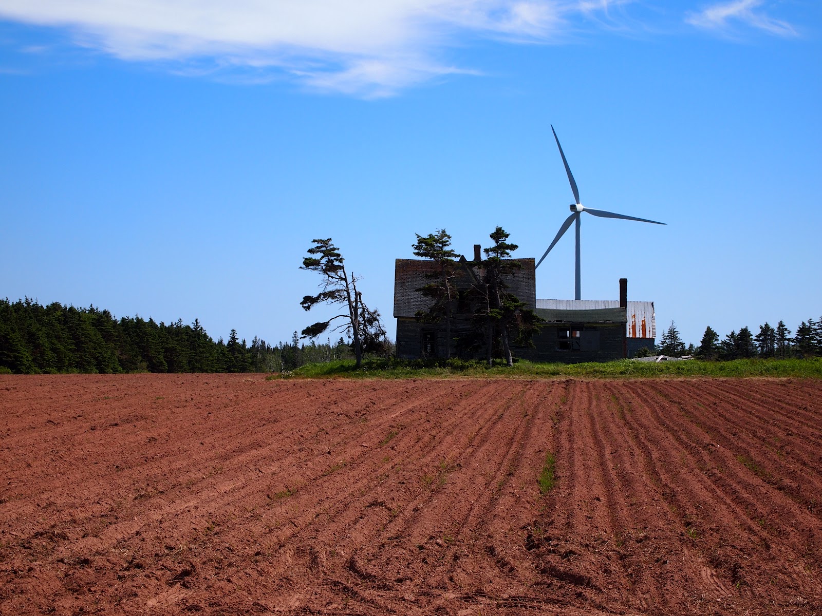
at each and every town. We were also intrigued by the juxtaposition of a wind
farm against abandoned farm buildings near East Point, and especially enjoyed
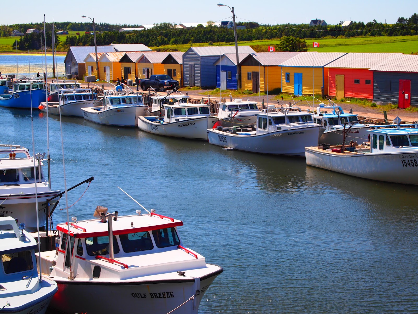
the fishing harbour at North Lake and walking on the beach at Basin Head.
The standout event of the day was climbing to the light at
the top if the lighthouse at East
Point . Built in 1867 from locally milled timber –
there remains just one tree of any substantial size in the area today – the
lighthouse has been beautifully and authentically maintained. The original
Marconi radio is still there, along with the wooden stove in the bedroom on the
level immediately below the light. Photographs of the various lighthouse keepers
keep memories of their service alive, and it is easy to get a strong sense of
what it must have been like tending the light during the one hundred plus years
that the original light was in commission. We learned how the lighthouse was
moved 1500 feet near the end of the 19th century because the maps of
the time showed the lighthouse in the wrong place – resulting in a number of
ships running aground. Rather than redraw the maps those involved decided to
move the lighthouse more than a quarter mile to conform to the map. Information
about the lighthouse can be found on its official website.
We spent 8 hours on the road and heartily recommend the trip
to anyone blessed with a free day and fine weather during their stay on the
island.


posted by Colin and/or Michele at 10:33 AM
![]()


0 Comments:
Post a Comment
<< Home