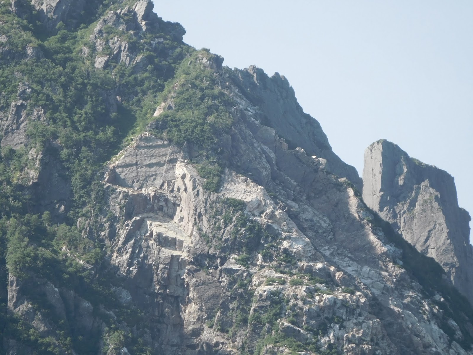
The magnificent Western Pond
One of our favourite Newfoundland 'linguisms' is the use of "pond" for what we ourselves know as "lake". Western Pond was formed by glacial action. The sheer weight of the ice during the great ice ages was such that the glaciers that formed Western Pond and the surrounding valleys once ended up flowing to where the sea now is. When the ice melted and the weight came off the land level rose and the Pond was closed off from the sea. These days Western Brook Pond flows out to the sea, north of where the track leads in to the Pond. The land rises to maybe 10 metres above sea level in places.
On the first afternoon of our trip we just walked in the 3 kilometres to the jetty in the late afternoon. There is a now a track that could take a car, but the only vehicles we saw were small utilities like golf carts that carried the workers in to work on the boats and the tourist building, which serves meals, sells memorabilia, and sells boat trip tickets.


On the first afternoon of our trip we just walked in the 3 kilometres to the jetty in the late afternoon. There is a now a track that could take a car, but the only vehicles we saw were small utilities like golf carts that carried the workers in to work on the boats and the tourist building, which serves meals, sells memorabilia, and sells boat trip tickets.


The second day we were on the boat a little after 10am. The trip took around two and a half hours, running to the end of the pond, with stops at standout points. The return trip was quicker, and offered a chance to get photos of sights that were overpowered by the morning sun on the way up. It was easy to feel very small in the scale of things.


posted by Colin and/or Michele at 9:21 AM
![]()


0 Comments:
Post a Comment
<< Home