Monday, July 19, 2004

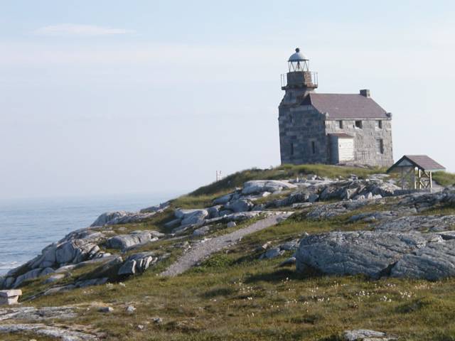
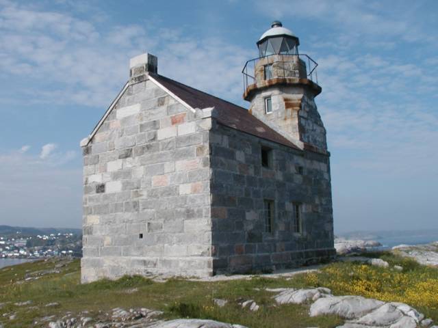
Rose Blanche and its Lighthouse

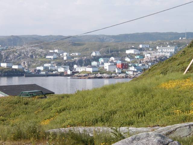
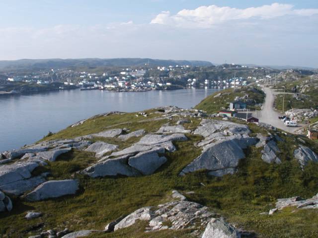
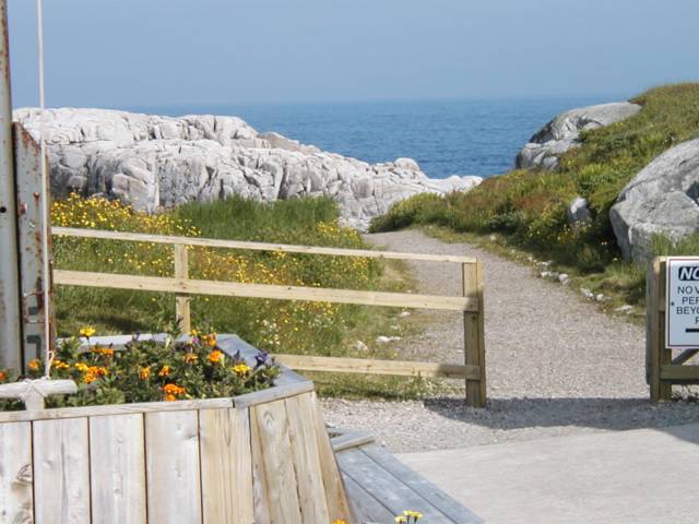
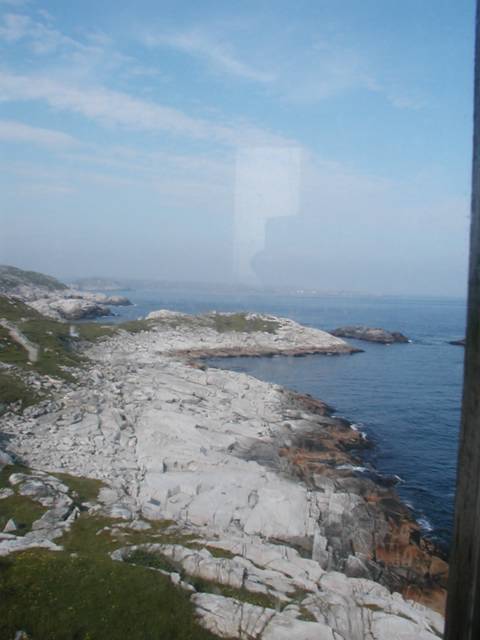
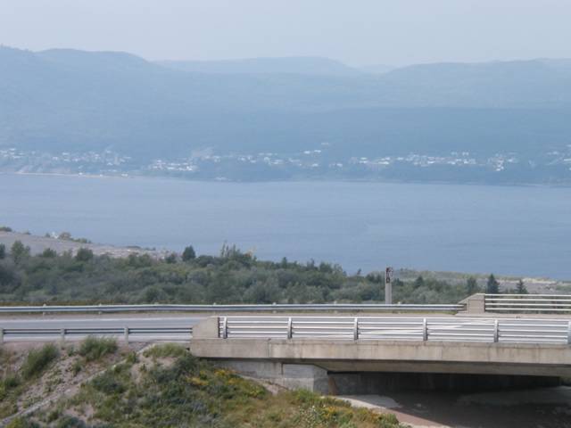
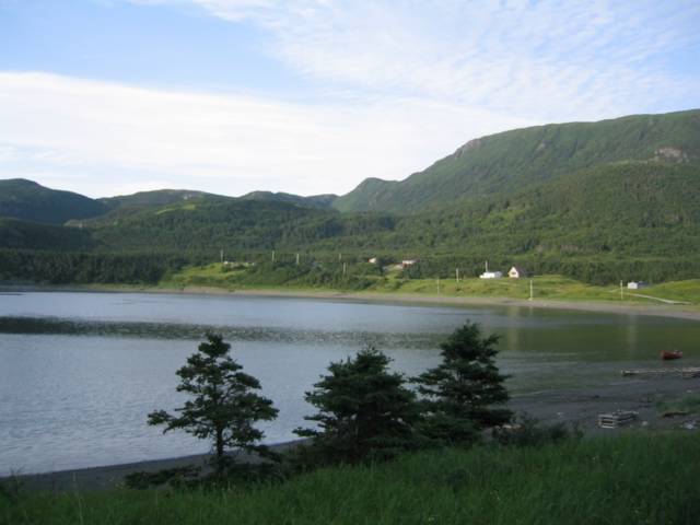
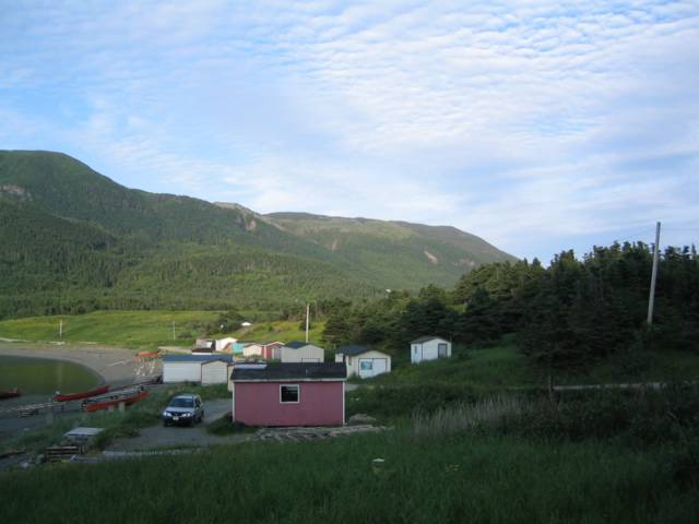
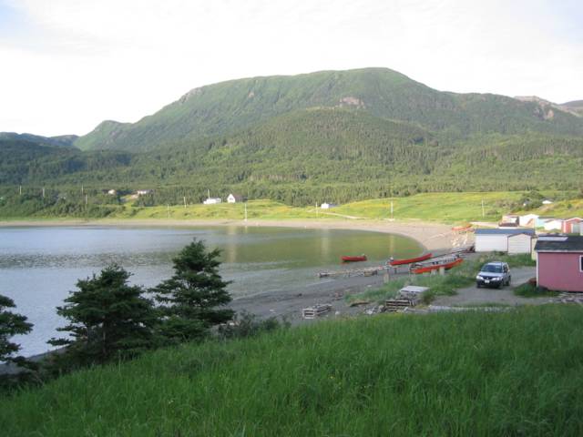
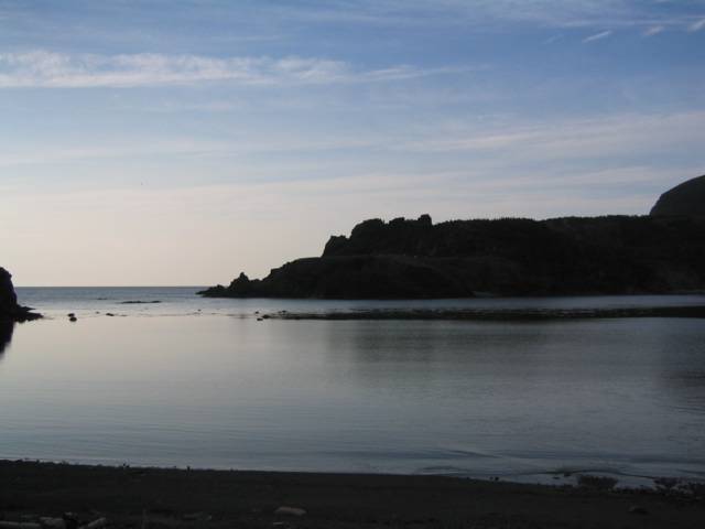
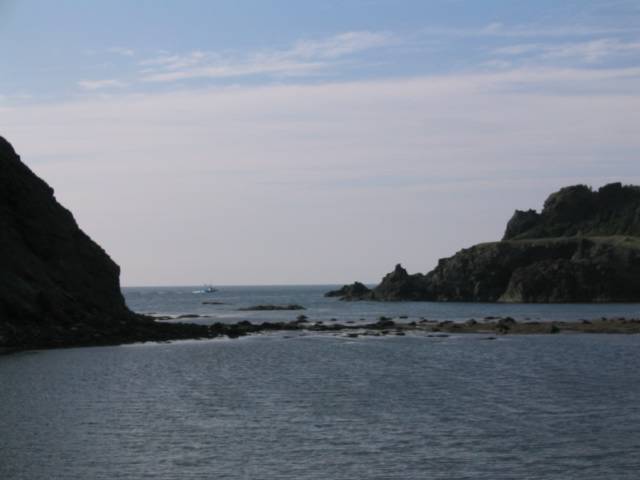
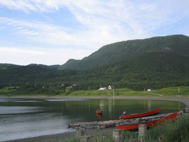
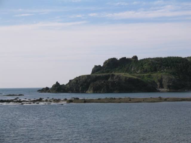
Rose Blanche is located some 50 kilometres east of Port aux Basques along the southern coast of Newfoundland. The gentle winding road takes the traveller through beautiful countryside very different from that between Port aux Basques and Corner Brook. It is a trip well worth making. The lighthouse was built in the 1870s and stayed in commission until the late 1940s, when Newfoundland joined the Canadian federation of provinces. In the 50+ years after falling out of commission the lighthouse fell apart until only the light tower remained. Local efforts rebuilt the whole lighthouse as closely as possible to original specifications between 1996 and 1999. On the way the road passes the charming townships of Isle de Morts, Burnt Islands and Harbour LeCou.

Township of Rose Blanche. Posted by Hello

Shore below the lighthouse. Posted by Hello

Coastline at Rose Blanche Posted by Hello

Township of Rose Blanche from Lookout at Lighthouse. Posted by Hello

Track to lighthouse from park entry. Posted by Hello

Coastline looking east from window in tower of lighthouse. Posted by Hello

Lighthouse from the Lookout. Posted by Hello

The lighthouse at Rse Blanche, restored between 1996 and 1999. Posted by Hello

Saturday, July 17, 2004

The Main Game

The reason for being here in the first place was to teach a Summer Institute for 42 students enrolled in a Masters of Education degree program at Mount St Vincent Univerity. The Institute was held in the Marble Mountain ski lodge, just a short distance below the Humber Arm toward Deer Lake. The university spared nothing to ensure a superb and accommodating setting in which to teach and learn -- a fact lost on nobody who participated.

Inland limit of the Humber Arm of a hot and hazy day. Posted by Hello

Just up the road from the Lodge and Villa, the Humber Arm nears its inland limits Posted by Hello

Hard at work in class, discussing aspects of boys' literacy and their experiences of school. Posted by Hello

A view of the ski runs during high summer Posted by Hello

The very comfortable Marble Villa, where we stayed throughout the Summer Institute. Posted by Hello

Classes were held in the open plan top and middle levels of the Marble Mountain ski lodge. Ski runs are etched into the hills behind. Posted by Hello

Friday, July 16, 2004

A nice spot for a picnic

Just above the waterline we found a fine piece of open land which gave us some nice views of the cove from higher ground. It looked like a perfect spot for a picnic, or for spending considerably more time.

Wildflowers and land above the cove Posted by Hello

Cove entrance from higher ground Posted by Hello

Cove from higher ground Posted by Hello

Cove from higher ground Posted by Hello

Road at the cove higher ground Posted by Hello

Beach at the cove from higher land Posted by Hello

Bottle Cove

On the coast of the Gulf of St Lawrence, a few miles south of the Bay of Islands at the entrance to the Humber Arm, Bottle Cove was until recently a small fishing community. The 1921 census reported 4 people living in 6 households. Its lava flows and wavecut platforms are of much geological interest. At the end of the last ice age, as the glaciers retreated from the shoreline, the sea cut platforms into the now exposed cliffs. As the ice continued to melt, the land -- freed of the weight of the ice -- slowly lifted. Today the two wave cut platforms at Bottle Cove are 30 and 60 metres above sea level respectively. Besides being of geological interest the cove rates highly on the scale of natural beauty and is proudly commended to tourists by local inhabitants. It is separated from Lark Harbour, just 2 kilometres away, by a low peninsula.

Evening, Bottle Cove Posted by Hello

Bottle Harbour entrance from south Posted by Hello

Lobster dories on the beach Posted by Hello

Beach and dories at Bottle Cove looking east Posted by Hello

Bottle Cove entrance looking north Posted by Hello