Friday, August 25, 2006

Celebrating the Fantastic Humber Arm

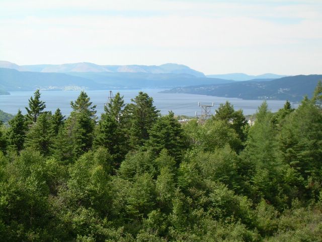
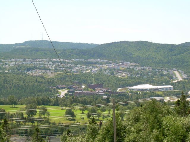
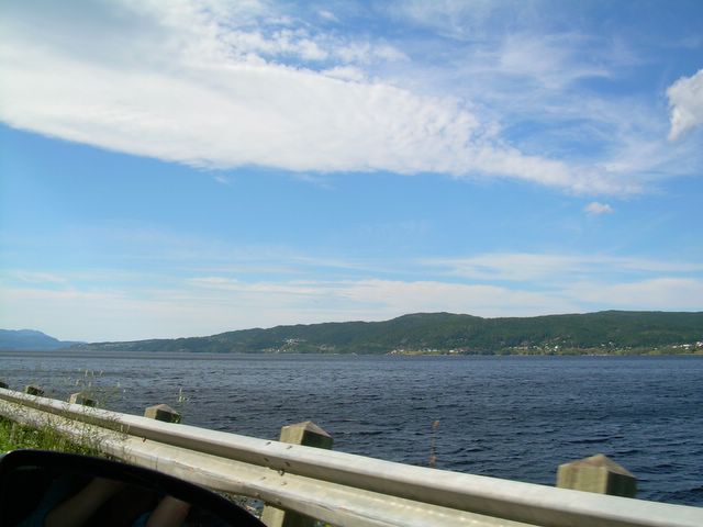
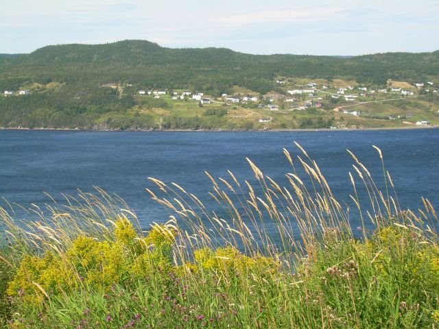
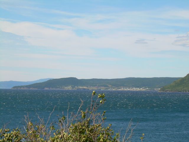
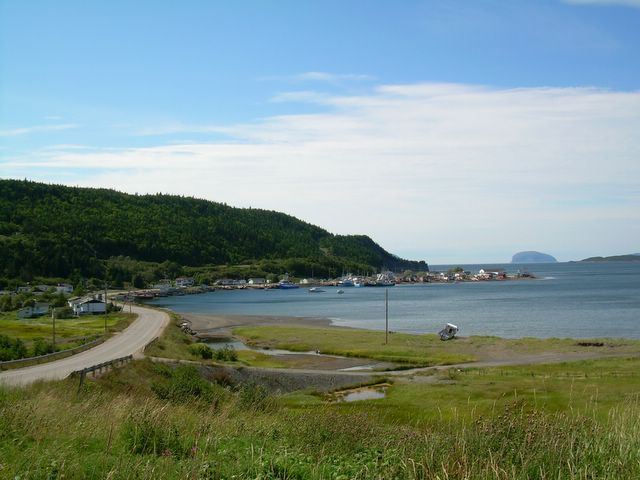
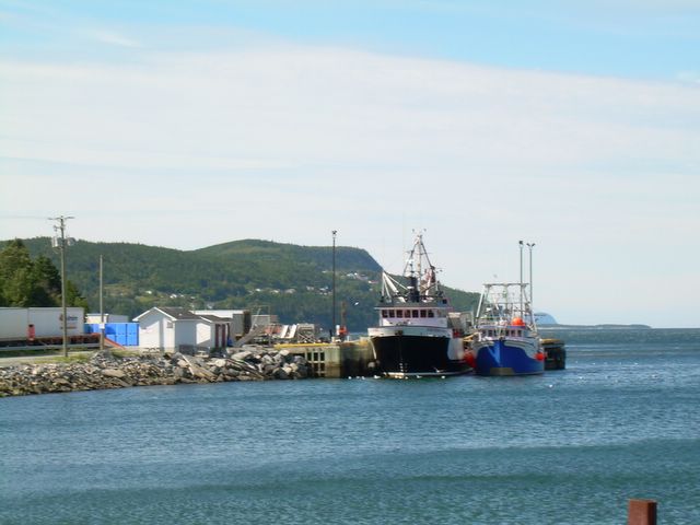
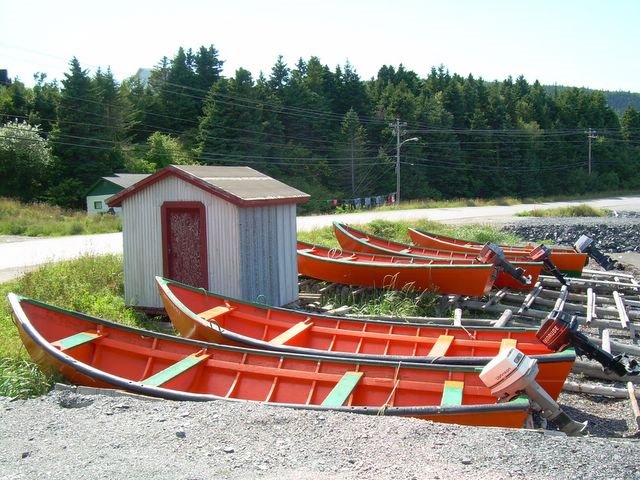
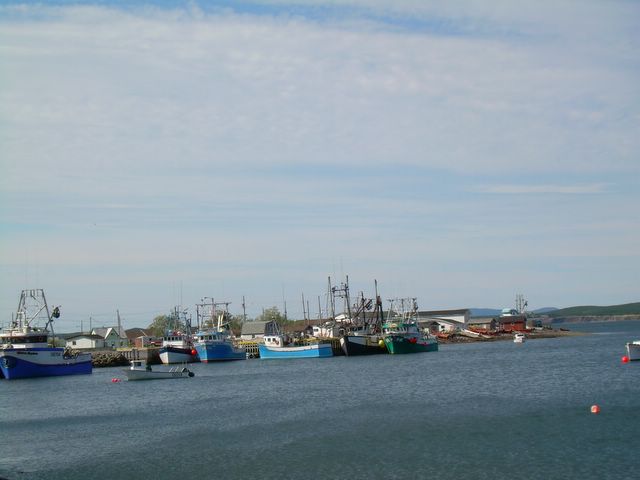
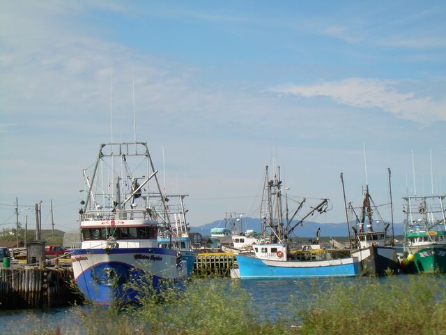
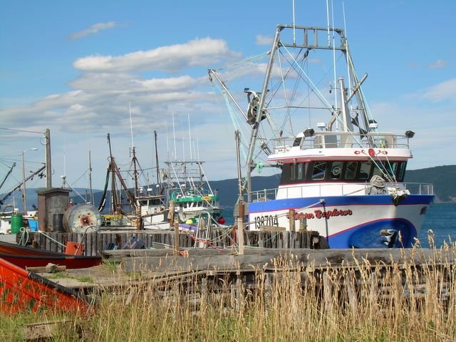
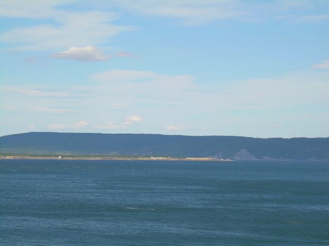
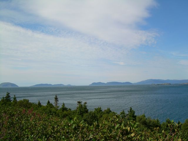
The Humber Arm is a long, deep, and several kilometres-wide fjord on Newfoundland's Central West Coast. It was charted by Captain Cook in 1768, prior to his ship's journey to the antipodes. Humber Harm extends from the Gulf of St Lawrence to the city of Corner Brook, a distance of more than 30 kilometers. Bottle Cove is located just a few kilometres to the south of the entrance to the Humber Arm. Lark Harbour and York Harbour are on the south shore of the arm, in the vicinity of the Bay of Islands, charted by Cook, and whose charts remain reliable and are used to this day. Whenever we travel to and from Bottle Cove we share the friendship of the Humber Arm for almost a solid hour. The drive is slow, especially near dusk, because as any local knows you have to Watch Out for Moose. But as the following pix make perfectly clear, it would be an inconscionable waste of opportunity to feast on majestic beauty to make the drive too quickly -- even if one were driving it every day. The trip is sublime, and the Arm has many moods. Today's mood was clear, bright, blue and tranquil.

Here's looking at you, Humber Arm.

The Humber Arm from the Corner Brook Plaza carpark. Posted by Picasa

Directly up the Arm, toward the west in the direction of Bottle Cove. Posted by Picasa

Corner Brook and a glimpse of the Humber Arm. Posted by Picasa

A view of one side of Corner Book from the Plaza. Posted by Picasa

Just a few kilometres west of Corner Brook the road winds close to the waters of Humber Arm. Posted by Picasa

Deep still water, looking toward the entrance to the Arm. Posted by Picasa

Looking toward Halfway Point and Benoit's Cove several kilometres west of Corner Brook. Posted by Picasa

Across to the north shore of the Arm -- more or less directly over from the yachting marina outside of Corner Brook. Posted by Picasa

Looking toward the entrance to Humber Arm more than 30 kms westward from Corner Brook. Posted by Picasa

Looking across to the north shore of the arm, about 4 kilometres west of Corner Brook. Posted by Picasa

Cloud train. Posted by Picasa

A fishing boat in the Arm, up harbour from Frechman's Cove. Posted by Picasa

Approaching Frenchman's Cove from the east. Frenchman's is about half way between the Plaza and Bottle Cove. Beautiful, tranquil, historic.  Posted by Picasa

Blues Posted by Picasa

A lauch approaches Frenchman's Cove. Posted by Picasa

Fishing boats at Frenchman's Cove. Posted by Picasa

Fishing dories at Frenchman's Cove. Posted by Picasa

Houses on the eastern shore of Frenchman's Cove. Posted by Picasa

Ship life at Frenchman's Cove. Posted by Picasa

Fishing vessels, Frenchman's Cove. Posted by Picasa

Fishing vessels at Frenchman's Cove. Posted by Picasa

Brown Island, with small homes dotting the foreshore. Posted by Picasa

Islands out from York Harbour Posted by Picasa

The island, near the entry to the Arm, known affectionately to us as Moby. Posted by Picasa

Looking across the Humber Arm from a little way west of Frenchman's Cove Posted by Picasa